GIS Services
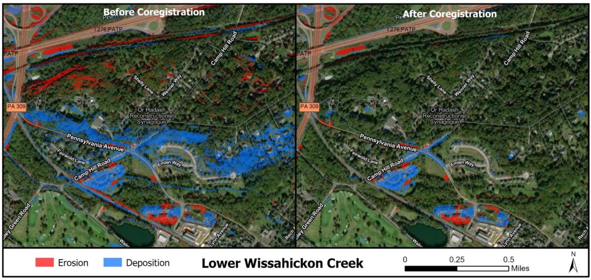
CWP has 20+ years of experience using GIS to characterize and analyze watershed conditions, streamline field data collection with mobile GIS, and identify solutions for watershed and stormwater related problems. This includes GIS data gathering and management, using geoprocessing tools for data analysis, creating cartographically compelling maps to effectively communicate results to clients and stakeholders, and developing methods for more complex GIS analyses, such as using digital elevation model differencing to identify streams with relatively high erosion rates for restoration. CWP uses ArcGIS Pro and ArcGIS Online and is experienced utilizing FieldMap for data collection and creating web apps and StoryMaps.
