CWP 2025 National Watershed & Stormwater Conference Recap

From April 8–10, 2025, the Center for Watershed Protection (CWP) hosted its National Watershed & Stormwater Conference in the stunning coastal setting of San Juan, Puerto Rico—marking the first time the event spanned a full three days. With over 200 watershed professionals in attendance, including representatives from federal, state, and local governments, consulting firms, universities, and non-profits, the conference provided a dynamic platform for collaboration, learning, and innovation.
A Full Slate of Sessions and Tracks
This year’s conference featured an expansive agenda with five concurrent tracks, 90 presentations, four interactive workshops, and four panels or roundtables, covering critical and timely topics such as:
-
Planning for Watershed Restoration
-
MS4 Implementation Strategies
-
Stakeholder Engagement
-
Innovations in Flood Planning & Resilience
With a clear emphasis on both technical solutions and community-centered approaches, attendees left with fresh ideas and strategies to apply in their own watersheds.
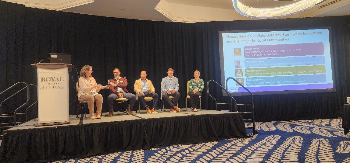
Plenary Conversations on Island Resilience
The conference kicked off with a compelling plenary address from Luis Cruz-Arroyo, Director for USDA-NRCS in the Caribbean, highlighting the importance of adaptive management and funding for conservation in Puerto Rico and the U.S. Virgin Islands. On Tuesday, a plenary panel expanded on this theme, featuring Luis Cruz-Arroyo and:
-
Carmen Guerrero Pérez, Director of the Caribbean Environmental Protection Division, EPA Region 2
-
Hilary Lohmann, Coastal Resilience Coordinator, U.S. Virgin Islands Department of Planning & Natural Resources
Together, these speakers addressed the unique vulnerabilities and funding hurdles faced by coastal and island communities, while engaging directly with the audience on challenges related to project implementation and interagency collaboration.
A Caribbean Focus
Set against the beautiful backdrop of the Royal Sonesta San Juan, the conference embraced its island location by highlighting coastal and island water resource management. Sessions explored:
-
The Carraizo Reservoir Sediment Management Study
-
US Virgin Islands collaborations for watershed restoration
-
Updates to the Water Supply and Wastewater Plans in Coral Bay, St. John
These sessions brought regional priorities to the forefront, offering attendees valuable insights into the specific needs and strategies of Caribbean communities.
Networking by the Water
As always with CWP events, the conference balanced professional development with a touch of fun. On Tuesday evening, a lively poster session and cocktail reception created space for connection and conversation. Seven poster presenters showcased research on topics ranging from native plants to community empowerment, generating spirited discussion among attendees. Evenings offered chances to relax and bond through activities like:
-
Exploring Piñones
-
Trivia night challenges
-
Visiting a local brewery
-
Evening beach walks under the stars
Field Trips with Impact
A variety of field trips brought the conference themes to life:
-
Historic tour of Old San Juan
-
Kayaking excursions
-
A visit to the El Yunque Rain Forest
-
A Green Infrastructure tour of the Punta Boca de Cangrejos project, led by Protectores de Cuencas
On the green infrastructure tour, attendees learned about dune restoration efforts to reduce land-based pollution and mitigate flood risks. Many even got their hands dirty planting native coastal dune grasses.
Looking Ahead
CWP 2025 was more than a conference—it was a forum for connection, knowledge-sharing, and forward-thinking strategies in watershed and stormwater management. Whether long-time attendees or first-timers, participants left inspired, equipped with new tools, and energized by the power of community. Presentations from the conference can be accessed through this link.
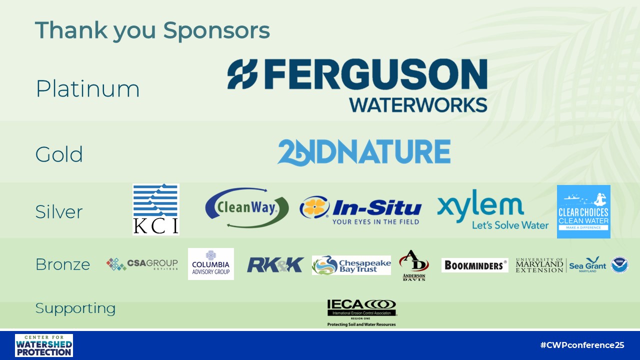
We thank everyone who made this event a success, especially our sponsors listed below. We look forward to continuing the conversation in the years ahead. We hope you can join us next year at the 2026 National Watershed & Stormwater Conference which will be held in Charlotte, North Caroline on April 14 – 16, 2026.
For more information, contact: Amanda Pollack at ahp@cwp.org.

