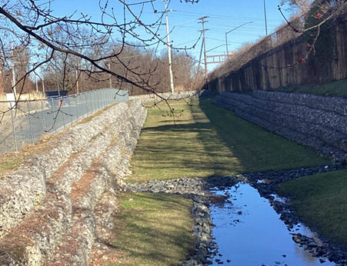
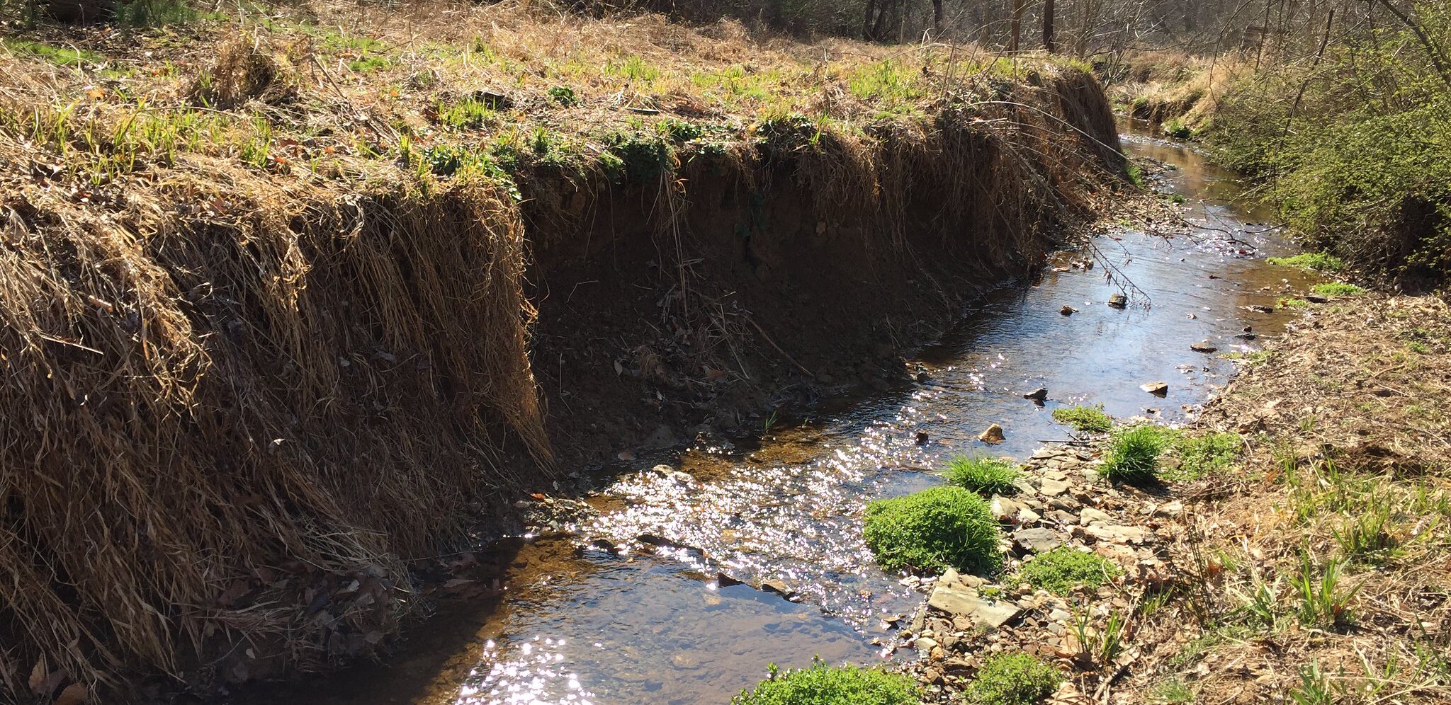
Stream restoration has become an increasingly common strategy utilized by watershed restoration agencies to obtain nutrient and sediment reductions to comply with Municipal Separate Storm Sewer System (MS4) and Total Maximum Daily Load requirements. As such, practitioners are seeking more efficient methods to evaluate stream reaches where sediment delivery could be reduced, and to report credits for sediment and nutrient reductions. Traditional methods to estimate credit for streambank stabilization include monitoring and modeling approaches, such as the Bank and Nonpoint Source Consequences of Sediment (Rosgen, 2001) method used for MS4 crediting in the Chesapeake Bay watershed and in other parts of the country. These methods are focused on erosion estimated only at the moment of evaluation. Other monitoring approaches, such as cross-section and bank pin surveys, occur at selected locations that are determined by practitioners to be representative of the entire system of interest. The results from selected locations are then extrapolated across the entire system to obtain erosion and deposition estimates. However, streams are complex systems that change over time as erosion, deposition, and transport occur and sediment moves through the stream and floodplain network. The ability to observe changes in the watershed and stream network over multi-year time scales can help evaluate channel adjustment over time and determine if streambank stabilization is an appropriate strategy.
Light Detection and Ranging (LiDAR)-derived digital elevation model (DEM) differencing has gained utility in recent years as an effective method to feasibly quantify changes along the entire stream network within a watershed over multi-year time scales. This method also allows for the quantification of erosion and deposition that has occurred along the length of the stream network, as opposed to traditional monitoring methods at selected locations. Use of DEM differencing to remotely identify opportunities for streambank stabilization can save time and money by reducing on-the-ground field assessments required to identify and measure locations of streambank erosion.
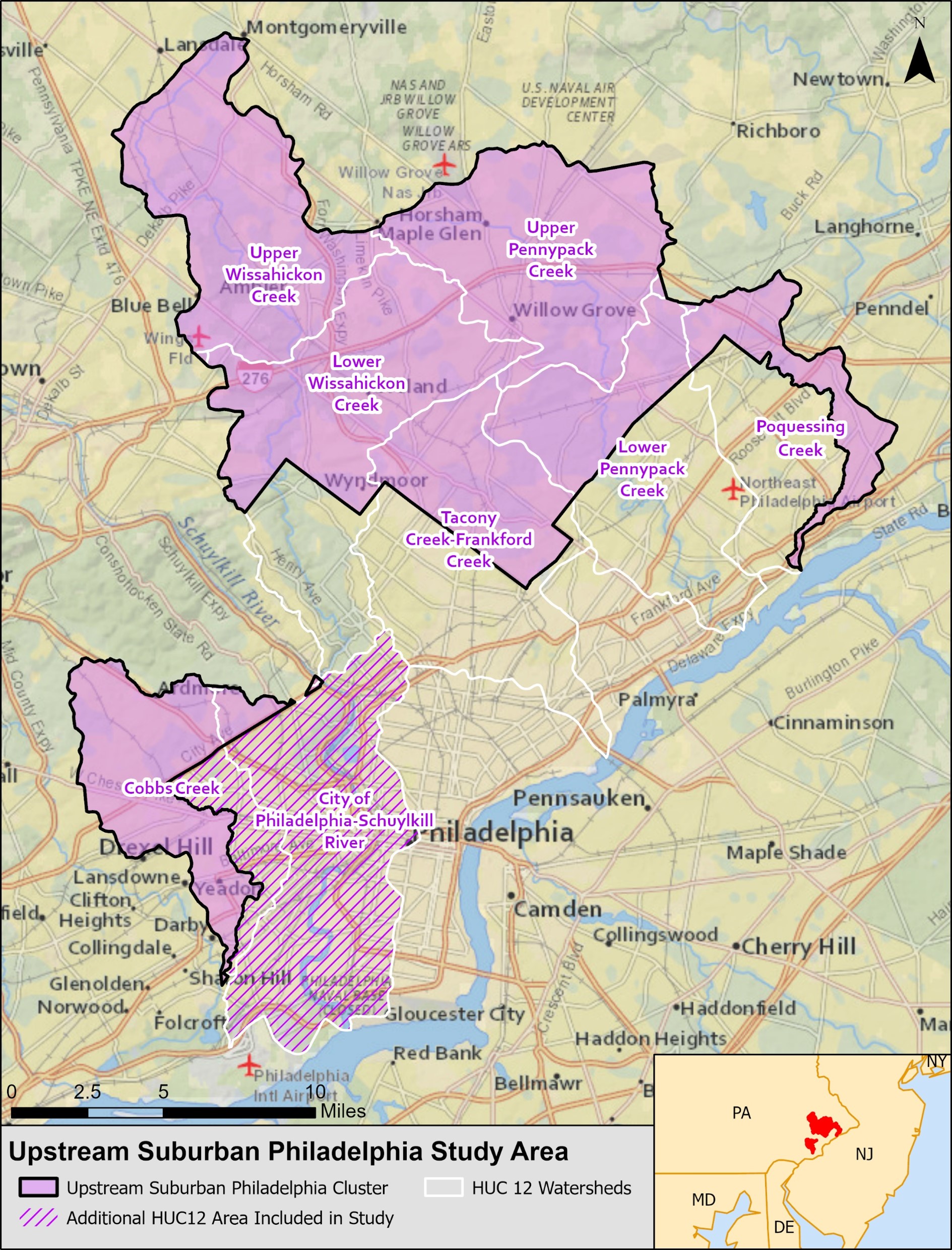
The Center for Watershed Protection conducted LiDAR-derived DEM differencing from 2022-2024 for a study area that included portions of the Pennypack, Tookany, Wissahickon, Cobbs, and Poquessing Creeks in Bucks, Delaware, and Montgomery Counties in the suburban Philadelphia region (Figure 1). LiDAR datasets from 2008 and 2015 were used to map locations and approximate load of sediment erosion and deposition that occurred during that time period, specifically for the identification of potential streambank stabilization opportunities.
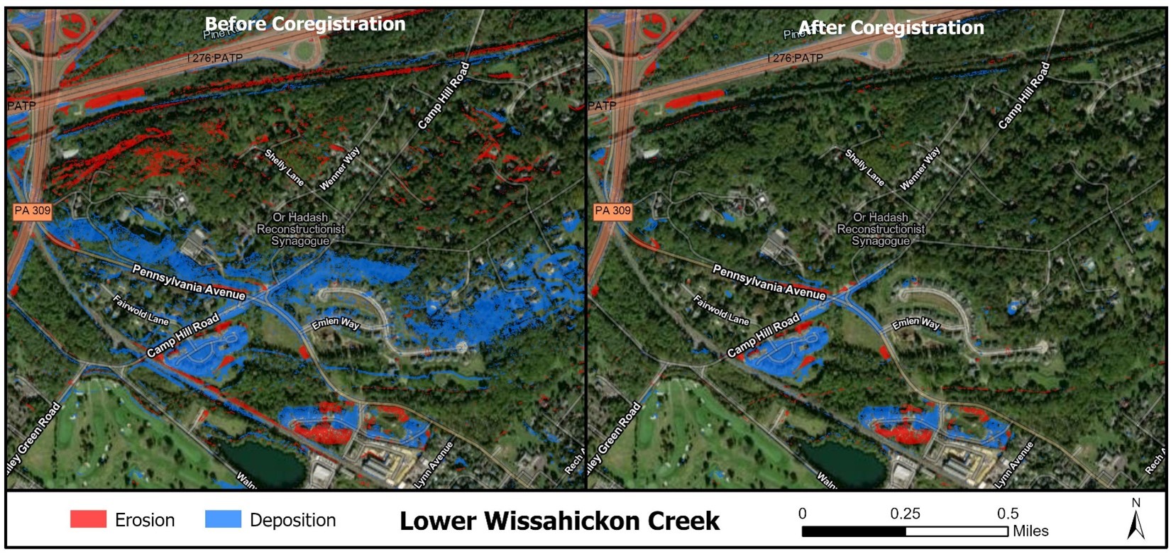
Initial DEM differencing results showed large bands of change detection in areas along flight lines, steep slopes, and heavy canopy cover that were believed not to be representative of actual change. The results were refined through co-registration of the DEMs and filtering the results based on LiDAR point density (Figure 2). The challenges were attributed to the quality of the 2008 layer, which was flown with earlier LiDAR technology. Field verification was performed as a qualitative review of the differencing results, which demonstrated multiple potential uses, including erosion and deposition mapping; post- construction project performance verification; and identification of erosive gullies, channels, and other land-use changes. The final project report provides an overview of the DEM differencing process, describes the utility of the results, and provides recommendations for future study. Watershed organizations in the study area are using the results to help select locations for future stream restoration projects to improve watershed health. Although research is still needed to realize the full potential of the DEM differencing process, the results show that this is a useful tool for watershed and stream restoration practitioners.
This work was funded through a grant from the William Penn Foundation. To learn more about this project, contact Julie Schneider at jas@cwp.org.
Works Cited
Rosgen, D.L. 2001. A Practical Method of Computing Streambank Erosion Rate. Proceedings of the Seventh Federal Interagency Sedimentation Conference, March 25 to 29, 2001, Reno, Nevada. 2(2), 10 pp.