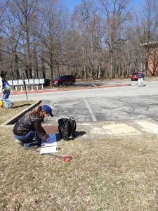
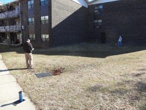
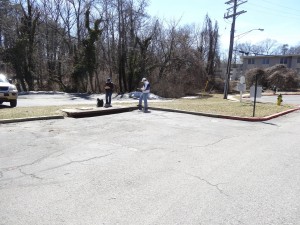
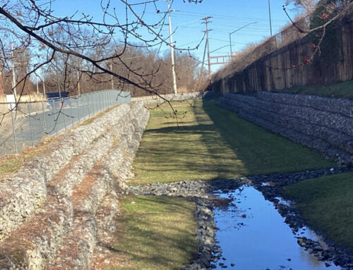
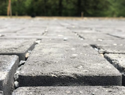
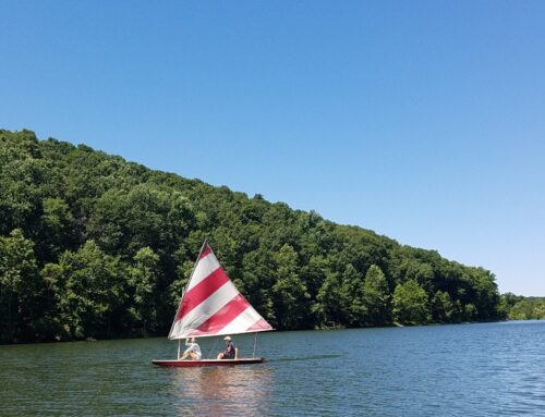
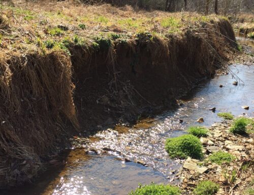
Hawkins Cove is a small inlet along Spa Creek in Annapolis, MD. The entire watershed is only 93 acres, and even though a portion of the upstream area is forested, the Cove is heavily silted. What’s causing this influx of silt in the Cove? As with most cases in urban areas, large impervious areas from residential development create lots of stormwater runoff (with its dirty water) while also contributing to erosion along the banks of the headwater stream. So much silt has accumulated in the Cove that the public dock sits among mud flats and has lost its recreational purpose. Spa Creek Conservancy, a volunteer organization, received a grant from the Chesapeake Bay Trust (CBT) in late 2014 to implement a watershed restoration plan for Hawkins Cove, which included conducting an upland retrofit assessment of the Hawkins Cove watershed. The Center for Watershed Protection was contracted to do the upland assessment, which included all areas outside of the shoreline and the stream ravine area. Greg Hoffmann and I (both from the Center) along with Jennifer Vaccaro and Vernon Hustead (of Living Landscape Solutions, LLC and Hustead Landscape Architecture LLC, respectively) spent a beautiful spring day walking through most of the watershed looking for possible stormwater retrofit locations. These retrofit possibilities included best management practices (BMPs) like bioretention areas and sand filters. In preparation for that day, I had previously identified potential locations to scout using GIS. The Center has a standard process for conducting retrofit assessments, and it always starts with a desktop assessment where we map the watershed with its stormwater pipes, inlets, and outlets, topography, public parcels, other utility information, etc. Using this map, it narrows down considerably the areas to search by virtue of eliminating areas without space for retrofits, sites that are on top of a hill and thus wouldn’t receive any runoff, etc.
The four of us visited each of the 19 sites I identified. Since the watershed is mostly ‘D’ soils (unlikely to infiltrate), we assumed that an underdrain would be required for any retrofit in the ground, so we focused our search for areas that met the following requirements:
- There was a nearby stormwater inlet and its invert was at least three feet deep, measured from the ground surface.
- There was enough space to construct a retrofit.
- The topography allowed placement of the retrofit.
- Enough stormwater runoff actually reached or could be routed to the retrofit area to make construction worthwhile.
Based on our work, 10 of the 19 sites had locations that could accommodate a retrofit; some of the sites could fit more than one retrofit. We found a total of 18 potential retrofits, that if they were all constructed, could potentially remove 14% of the current phosphorus load, 10% of the current nitrogen load, and 16% of the current sediment load. This translates to approximately 10 pounds of phosphorus per year, 81 pounds of nitrogen per year, and 3,600 pounds of sediment per year that would not travel to the Cove.
The CBT grant includes assessment of the eroded upstream ravine and the shoreline. Because the watershed restoration plan is taking a multifaceted approach (i.e. construction of BMPs in the upland areas, restoration of the eroded upstream ravine, and remediation and rebuilding of the shoreline), the nearby residents of Hawkins Cove will someday soon be able to enjoy access to the Cove and Spa Creek.
Laura Gardner
Water Resources Engineer
 Laura Gardner, EIT, is a Water Resources Engineer and joined the Center for Watershed Protection, Inc. in 2012. She is knowledgeable in several areas of watershed and stormwater management, including stormwater retrofitting and training, best management practice (BMP) design, watershed assessments, plan review, and creating and updating stormwater management guidebooks. She has a BS in Biological Systems Engineering and a MS in Civil Engineering from the University of Wisconsin – Madison.


